Sand Point: the settlement that existed before Henry Titus arrived
A small Indian River community of grove keepers, boatmen, and Civil War-era refugees occupied the bluff at present-day Titusville for decades before Henry Titus renamed it.
Sand Point existed for at least thirty years before Henry Titus arrived. The 1850 federal census, when this stretch of coast was still Mosquito County (renamed Brevard in 1855), records a small settlement of fewer than 60 residents along the west bluff of the Indian River at present-day Titusville’s latitude. The 1860 census, taken under the Brevard name, shows growth to roughly 100. The population that Titus encountered in 1867 was small, but it was not nothing.
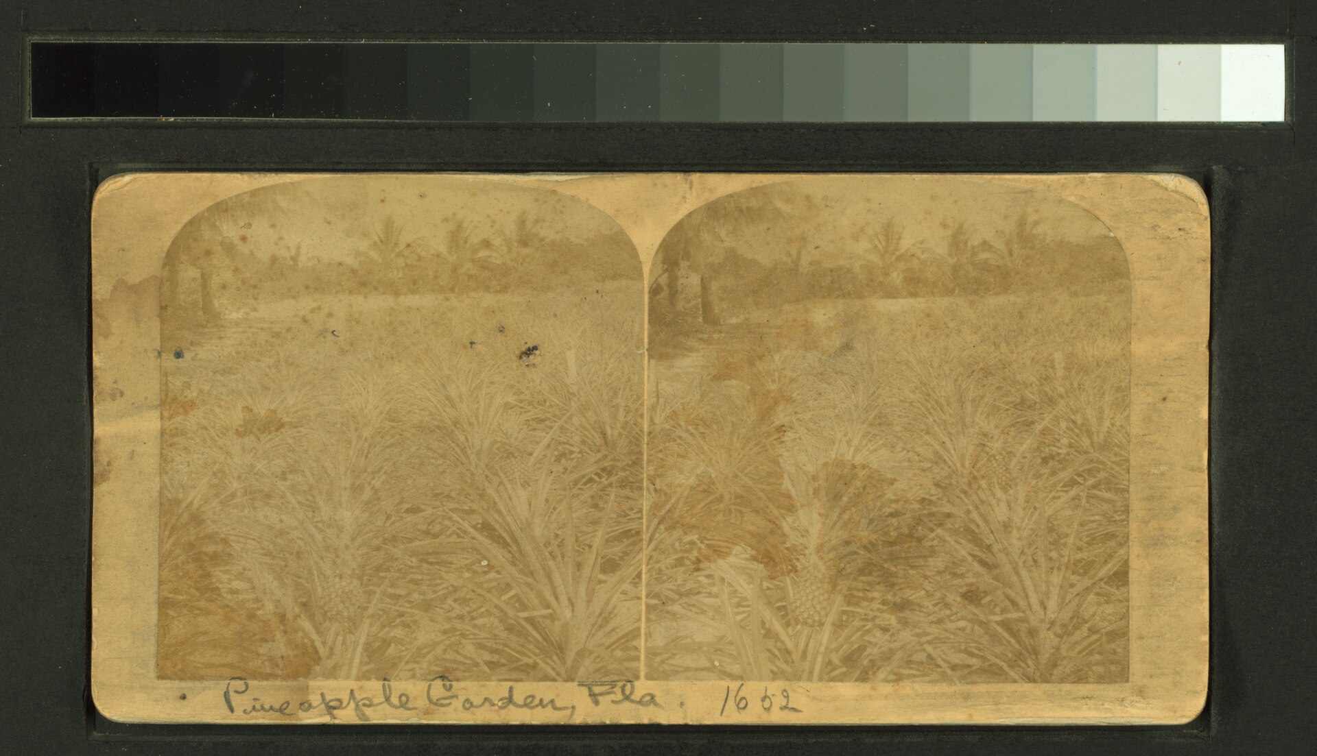
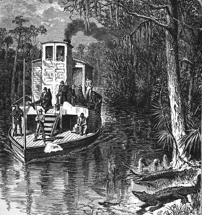
What was there: a dock for the Indian River sailing craft and, later, the steamboats; a scatter of grove plots (mostly small citrus, some pineapple, some sugar cane); a store; the homes of several extended families whose names appear repeatedly in Brevard County records from the 1850s through the 1890s. Sand Point was a transit point between the St. Johns River system to the west (reachable overland by ox cart) and the Indian River Lagoon’s hundred-mile reach south to Jupiter Inlet.
Who was here before Titus
The 1860 federal census enumerated households on the Indian River that would still be in Brevard County a generation later: the Pritchards (later Pritchard Brothers Bank in Titusville), the Stewarts, the Cartys, the Joyners. Free Black households are listed in the same census in occupations of “boatman” and “laborer in grove.” Slave-schedule data for the 1860 census shows a small number of enslaved persons held by larger grove operators on the river’s east bank in Volusia and Brevard.
Most of the pre-1867 Sand Point settlers had arrived in the 1850s during the brief land-rush following the end of the Second Seminole War (1842) and the federal Armed Occupation Act, which offered 160-acre homesteads to settlers willing to bear arms in defense of the line. The Indian River at this latitude was outside the immediate Seminole conflict zone by the 1850s but still on the frontier; the third Seminole War (1855–58) ran south of Lake Okeechobee but the federal supply line ran along the Indian River.
Civil War years
During the Civil War the Indian River was a Confederate blockade-running corridor. Salt was made at evaporation works near present-day Salt Lake (just west of Titusville), and small craft ran cotton south to inlets that could clear the U.S. Navy’s East Gulf Blockading Squadron. Records held by the State Library and Archives of Florida (Florida Memory) document several known salt-making sites in the Sand Point area, and Union expedition reports from 1862–63 document raids that destroyed several of them.
The war emptied much of the Indian River economy temporarily. Several Sand Point grove operators are listed in Confederate service records; some did not return. By 1865 the settlement was smaller than it had been in 1860. Reconstruction-era arrivals (Northern speculators, freed people, demobilized Union soldiers seeking land) refilled the area through the late 1860s.
Henry Titus arrived into this slightly hollowed-out community. He didn’t have to displace an established town; he had to rebuild one, on infrastructure that was already legible.

The name “Sand Point”
The bluff at Titusville is shell mound and quartz sand, distinct from the muck soil that dominates inland. Nautical charts going back to the U.S. Coast Survey’s 1850s Indian River reports use “Sand Point” or “Sand Pt.” as the navigational reference. The name predates any settlement; sailors used it because the bluff was the most prominent shore feature on the upper Indian River.
The U.S. Post Office had used the name “Sand Point” for the mail-stop at this site in the 1850s, lapsed during the Civil War, and was reinstated in the late 1860s. The change to Titusville came in 1874, three years after the post office accepted Henry Titus’s petition.
What Sand Point became
The Sand Point name persists in Titusville geography. Sand Point Park on the lagoon waterfront, the Sand Point Hotel name (which Titus’s hotel adopted under later ownership), and several street names anchor the older identity in a modern map.
The pre-Titus families are still represented. The Pritchard name reappears through the early 20th century in Titusville banking. The Joyner name appears in Brevard County school records into the 1950s. La Grange Cemetery, north of the city, contains pre-1867 burials.
What’s documented well: pre-Titus burials at La Grange, several pre-Titus deeded land tracts in the Brevard County recorder’s office (some surviving the 1894 courthouse fire that destroyed earlier records), and several 1860s photographs in the Florida Memory collection that predate the Titusville rebrand. What’s documented poorly: the day-to-day life of the smaller pre-Titus households, especially the Black and mixed-race residents whose names appear in the census but rarely in the surviving local-newspaper record.
The Sand Point post office, 1859
The settlement got a federal post office in 1859, eight years before Henry Titus’s arrival. Per the Wikipedia entry for Titusville, citing federal postal records, the Sand Point post office “was established in 1859, although it closed a few months later.” That short-lived office is the first formal federal acknowledgment of the settlement and the reason the name “Sand Point” persisted on official documents through the Civil War years, even though the post itself lapsed. When the office reopened after the war, it ran under the same Sand Point name until 1874, when Titus’s petition redesignated it Titusville.
The 1859 opening tells you something about the population threshold. The federal Post Office Department did not establish offices speculatively in the 1850s; a postmaster appointment required documented mail volume and a community willing to host the office on its own building. By the late 1850s, Sand Point had crossed that threshold once, briefly. The Civil War knocked it back below the threshold, and it took the postwar Reconstruction-era resettlement to clear it again.
The Armed Occupation Act footprint
The Armed Occupation Act of 1842, passed by Congress to settle the Florida peninsula south of Gainesville after the Second Seminole War, gave 160 acres to any head of household willing to bear arms, build a habitation, and cultivate at least five acres for five consecutive years. The act’s enrollment period ran from August 1842 through August 1843. Roughly 1,300 permits issued statewide; the Indian River corridor took several dozen of them in the upper-lagoon area that included present-day Sand Point.
The Armed Occupation grantees are the spine of the pre-Titus Sand Point population. Most did not last the full five-year residency, conditions on the Indian River frontier in the mid-1840s broke many settlers, but the survivors and their successors-in-interest form the household chain that the 1850 and 1860 censuses enumerate. Several of the family names that surface in the 1860 census, in the slave schedule, and in the postwar Brevard County tax rolls trace back to the original Armed Occupation grants. The Pritchards, Stewarts, Joyners, and Cartys whose descendants ran the early Titusville commercial economy were operating on land their families had first held under that act.
The honest historical position
Titusville did not begin in 1867. The settlement at the bluff dates to at least the 1840s in continuous form and arguably earlier as a Seminole-era trade and provisioning site. What Henry Titus did was attach a name and a promotional engine. The infrastructure he built on, dock, store, grove plots, footpaths to the St. Johns, was already there. Pre-1867 Sand Point is the prologue without which the Titus story is illegible.
Further Reading
As an Amazon Associate we earn from qualifying purchases.