Sand Point Park: the modern lagoon-front park that carries the older name
Sand Point Park on the Indian River waterfront is the city's primary recreational waterfront, named after the pre-Titusville settlement and operated by the city since the 1960s.
Sand Point Park sits on the Indian River Lagoon waterfront in Titusville, on Marina Road south of downtown. The park is the city’s largest waterfront recreational facility, with a marina, public boat ramps, a fishing pier, a community center, several pavilions, and open green space facing the lagoon. It carries forward the pre-Titusville name Sand Point, which had been the name of the settlement on the bluff above the lagoon before Henry Titus arrived in 1867 and gradually attached his own name to the town.
The park is operated by the City of Titusville Parks and Recreation Department, with the marina facilities under separate management agreements. The park has been in continuous public use since acquisition in the 1960s, with substantial expansion and improvement through the 1980s, 1990s, and 2000s.
The park’s setting
Sand Point Park occupies a substantial lagoon-front parcel south of the city’s downtown core. The land was acquired by the City of Titusville in stages through the 1960s, with the first significant park development completed by the late 1960s and ongoing additions through the subsequent decades. The site’s principal advantages are its direct lagoon frontage, its protected boat-launch geography, and its proximity to the downtown commercial district.
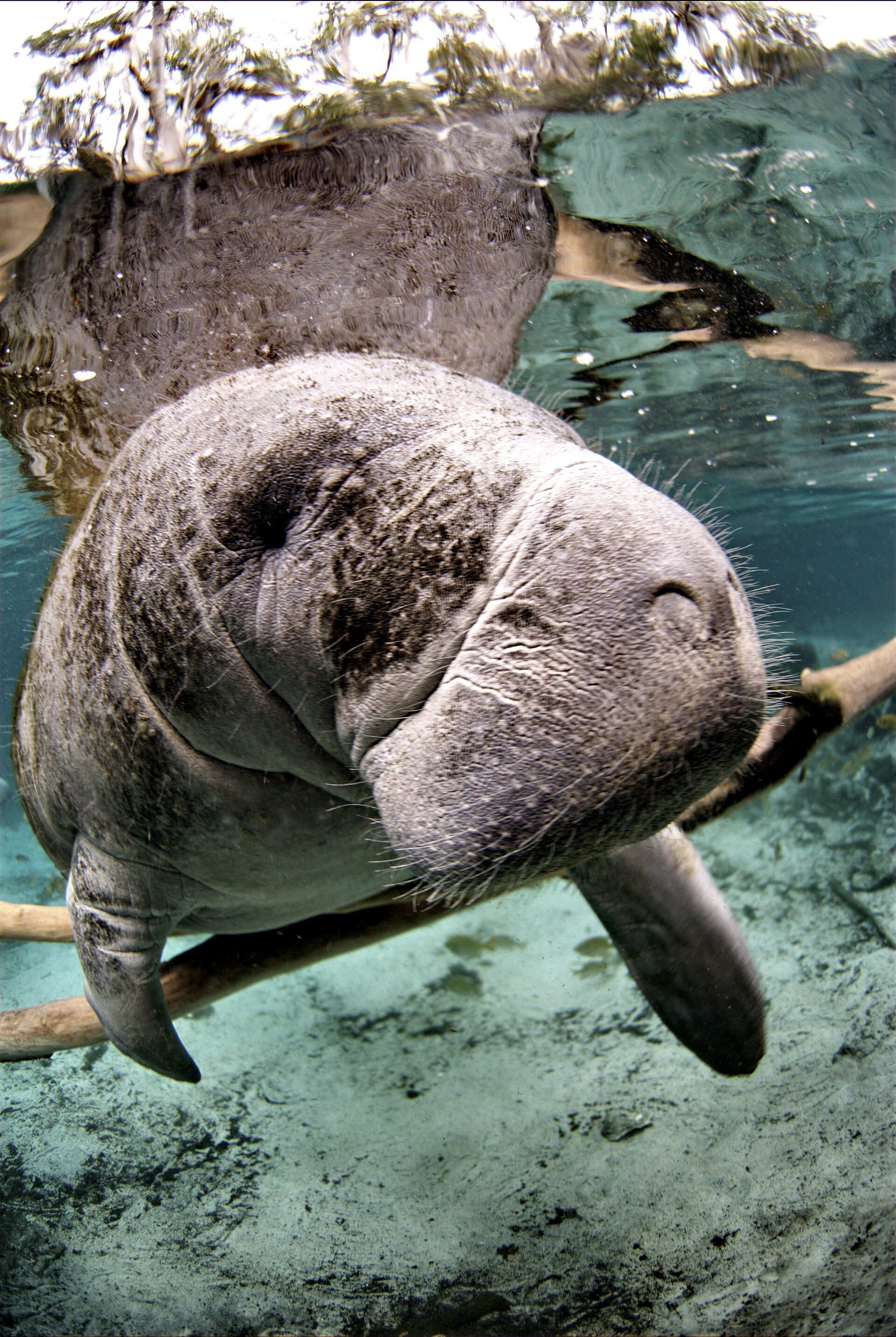
The Indian River Lagoon at this point is approximately three miles wide, with a clear sightline east to Merritt Island. The lagoon-front shoreline at Sand Point Park has been bulkheaded and engineered for public-park use; the natural mangrove-and-marsh fringe that would have dominated the pre-development shoreline is largely absent in the immediate park area, though it remains in adjacent areas.
The park’s facilities
Sand Point Park’s amenities are typical of a mid-sized Florida public waterfront park:
- Public boat ramps providing access to the Indian River Lagoon and, via the lagoon and the Atlantic Intracoastal Waterway, to the broader Florida east-coast water system.
- Marina facilities with dock slips, fuel, and basic boater services. The marina is one of two principal Titusville lagoon-side marinas.
- Fishing pier extending into the lagoon, accessible without permit during daylight hours. The pier provides public fishing access to a part of the lagoon that supports a documented community of red drum, snook, spotted seatrout, and seasonal migrants.
- Community center with meeting rooms and event-rental availability.
- Open green space for picnicking, recreation, and informal use.
- Pavilions for reserved-group use.
- Children’s playground areas sized for school-age and younger children.
The park is open daily during posted hours with no entry fee for general use. Marina services and pavilion reservations are subject to applicable fees.
The naming
The park’s name preserves the older “Sand Point” identity that the post office had used for the settlement before Henry Titus’s 1874 rebrand to Titusville. The continuity is partly accidental (the bluff at this latitude had been called Sand Point in U.S. Coast Survey charts since the 1850s) and partly deliberate (the city’s choice to use “Sand Point” for the park reflects awareness of the older name’s historical significance).
The site is not on the original footprint of the pre-Titus settlement (the pre-1867 settlement was concentrated closer to where the modern Titusville commercial district sits, on the bluff to the north of the present park). The naming is honorific rather than locational.
The fishing community
The Sand Point Park fishing pier is a community institution. A daily group of regular anglers occupies the pier across most of the year, sharing local knowledge about lagoon-fish behavior, baits, and seasonal patterns. The community is informal, intergenerational, and represents one of the city’s most persistent public-space gatherings.
The species composition has shifted with the Indian River Lagoon’s broader ecological changes through the 2010s and 2020s. The lagoon’s seagrass-loss event after 2011 affected the fish community measurably; the recovery program’s effects on fishing have been mixed. Local anglers report changes in catch composition that track the documented ecosystem changes (more bottom species, fewer mid-water predators that depend on seagrass-bed prey populations, seasonal shifts in red-drum runs).
The pier itself has been maintained and periodically renovated; the structure is in serviceable condition with appropriate safety features (railings, lighting, fishing-line waste-disposal containers).
Special events
Sand Point Park is the venue for several recurring city events:
- Independence Day fireworks viewing, the park’s lagoon-front position makes it a popular gathering point for Titusville’s July 4 celebrations.
- Tour de Titus, periodic community cycling events that incorporate the park as a starting or finishing point.
- Launch viewing for southern-Florida-tracking launches, when Cape Canaveral or KSC launches track south, Sand Point Park’s southern-exposure lagoon-front provides a different sightline than Space View Park’s northern-trending one.
- Annual community festivals, the park hosts the city’s annual seafood festival, holiday-season events, and several smaller community gatherings throughout the year.
The park is sometimes booked for private events (weddings, family reunions, corporate retreats) through the city’s parks-and-recreation reservation system.
The lagoon’s ecological collapse and partial recovery
The fishing community at Sand Point Park pier has been the city’s frontline observer of one of the worst estuarine ecological collapses in 21st-century North America. Per the published profile of the Indian River Lagoon, a 2011 phytoplankton superbloom destroyed 32,000 acres of seagrass, the foundational habitat for the lagoon’s fish, shellfish, and manatee populations. By 2017, 95 percent of the lagoon’s historic seagrass cover was gone. By 2023, the lagoon had “virtually no detectable seagrass.” A partial recovery in 2024 returned coverage to 4.3 percent, still less than five percent of the pre-collapse baseline.
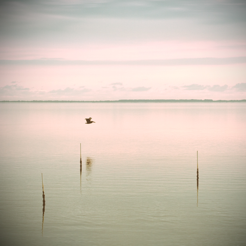
The manatee deaths that followed were extensively documented. Nearly one-third of the U.S. manatee population uses the Indian River Lagoon for some part of the annual cycle. Without seagrass, the wintering manatees that aggregate in the warm-water discharge plumes of the lagoon’s power plants began starving in large numbers. The Florida Fish and Wildlife Conservation Commission and the U.S. Fish and Wildlife Service set up an unprecedented supplemental-feeding program at the warm-water sites starting in winter 2021 to 2022, the first time federal authorities had deliberately fed wild manatees at scale.
The causes are not a mystery. The 1990 Indian River Lagoon Act required sewage plants to stop discharging to the lagoon by 1996, which they largely did. The unfixed sources are septic systems on the lagoon-fringe residential corridors and lawn-fertilizer runoff from the same areas. The nutrient load that septic and fertilizer add to the lagoon is what fed the algae blooms that killed the seagrass. The recovery, slow as it is, has come from sewer hookups replacing septic, fertilizer ordinances restricting application timing, and aggressive stormwater management.
How Sand Point Park fits Titusville’s identity
The city has two principal lagoon-front public spaces: Space View Park (anchored on the launch-viewing identity and on the bronze-plaque memorial program) and Sand Point Park (anchored on general recreational waterfront use, the fishing pier, the marina, and the older Sand Point name). The two parks complement each other rather than compete.
For a Titusville resident, Sand Point Park is the everyday waterfront. The fishing pier is where you go after work. The boat ramp is where you launch a fishing trip. The pavilions are where you book a family birthday party. Space View Park is where you go for the symbolic events, the launch viewings, the Memorial Day commemorations, the visiting-relative tours of the space-history memorials.
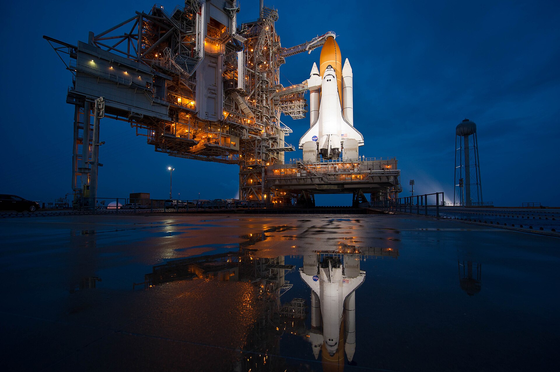
The two parks together make up most of the city’s public-access lagoon frontage. Both face the same broad lagoon. Both look across to the same horizon, where Pad 39A’s gantry has been visible for sixty years and where, before that, the eastern barrier island had been visible since the Indian River steamboats first ran the lagoon.
Further Reading
As an Amazon Associate we earn from qualifying purchases.